Stage 8: VORDERWEIßENBACH - TRABERG
Route: 8.6 km, 230 m elevation gain


Starting from the parish church, we follow hiking trail 20 or 40 towards the town hall.
There, we turn left towards the Raiffeisenbank and keep to the pavement until we reach the junction with the Böhmerwald federal road. There, we turn right again and follow the road to the heating plant. Once past the heating plant, we turn right onto a forest path and follow the signs for hiking trails 20 and 40 towards Bernhardschlag.
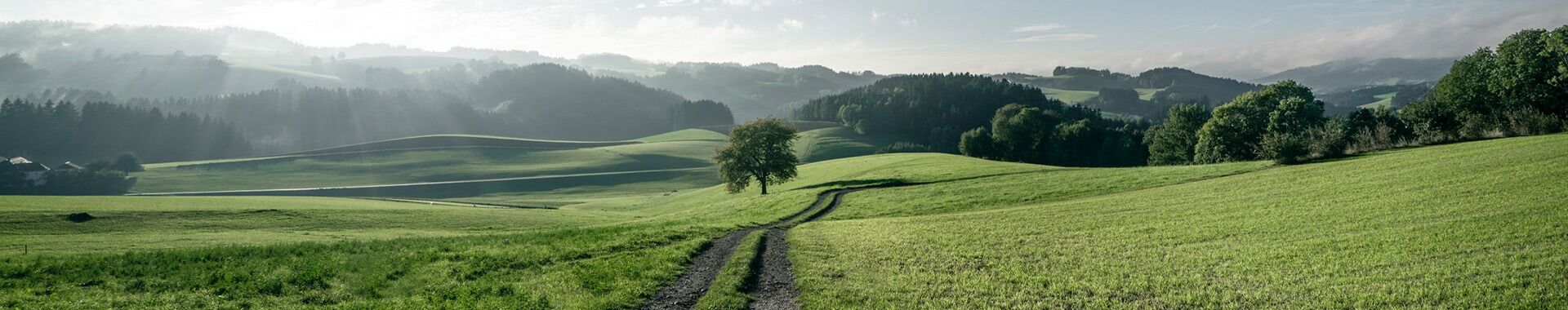
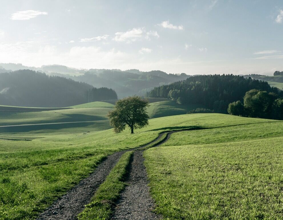
There are places to rest in the forest that follows. At the edge of the forest, the forest path turns into a dirt track, then a gravel path and later a path through meadows. Please pay close attention to the markings here. Looking back, we can see the wind turbines on the Sternwald ridge.
After the meadow path, we come to a tarmac road via a dirt track.
We turn left and then, after about 200 m, right again, continuing to follow the markings for hiking trail no. 20. This joins hiking trail no. 22 towards Brunnwald. After a distance of around 3.5 km, we follow hiking trail no. 41 to the village of Oberbrunnwald.
From there, we continue on to Traberg. Once in the village, we turn right towards the parish church. This section includes short stretches on tarmac roads. To make up for this, there are some very beautiful views of the surrounding villages.


