Stage 3: EIDENBERG – GENG
Distance: 6.2 km, 180 m elevation gain


From the parish church, the Kirchenweg leads steeply uphill to the “Eidenberger Alm” inn. At the car park, we turn left onto Almstraße and, after about 50 metres, turn right.
We follow the path uphill through a housing estate into the Eidenberger Forest and on to the newly renovated Schönanger Chapel. We have now reached the highest point of this stage.
In front of the chapel, we turn left and follow the forest path until, after about 400 metres, we leave the main path and follow a trail to the right through the forest. This path joins a tarmac road (Pointnerstraße), which we follow downhill to the right. After 250 metres, we keep to the left and turn right at the next junction onto a forest path.
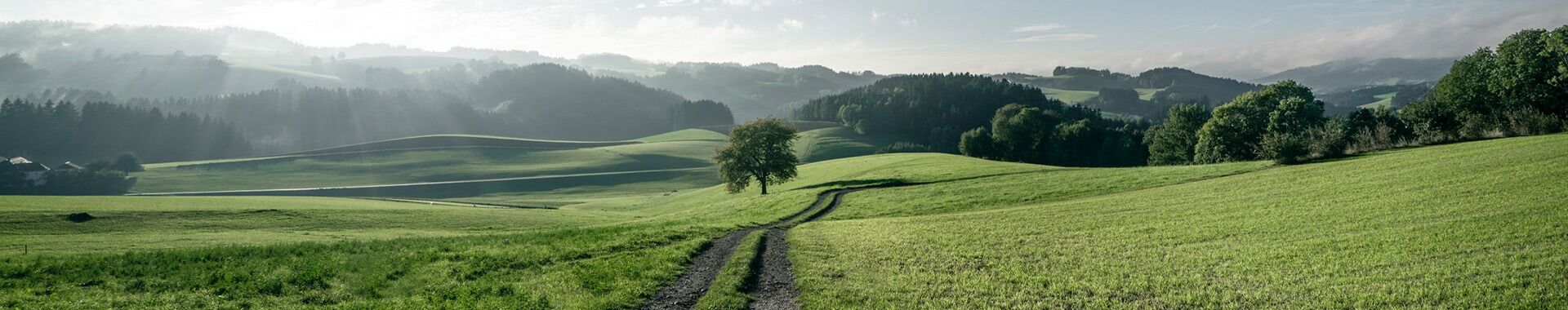
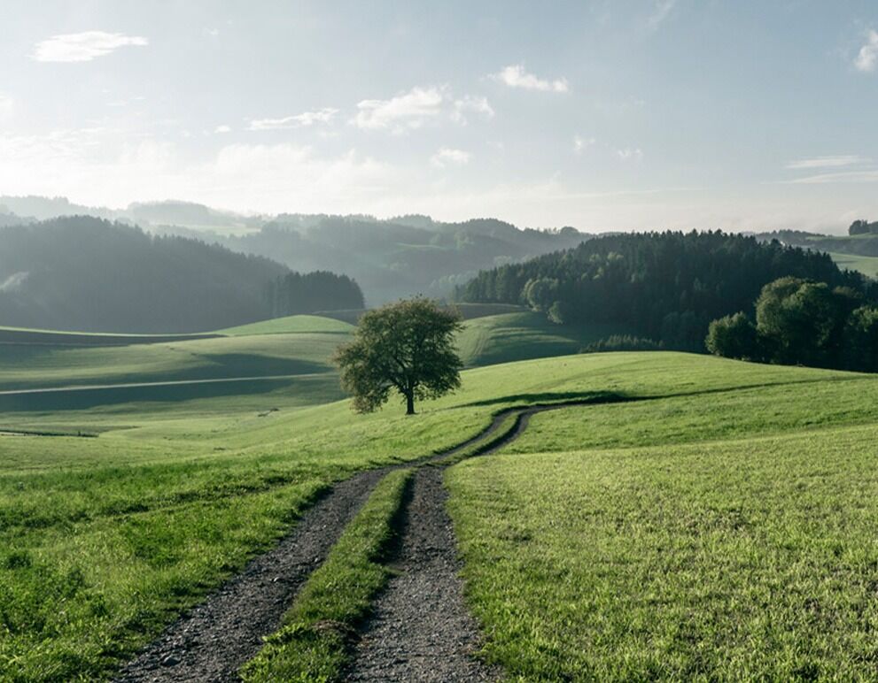
But first, we enjoy the magnificent view over the Mühlviertel. On a clear day, we can see the Waxenberg castle ruins in the distance.
As we continue, it is important to follow the markings, as the main path leads into the forest, but we keep to the left at the junctions.
At the end of the forest, we walk across a meadow along a garden fence to the tarmac road, which we follow to the right. We soon reach a wood and, shortly afterwards, the ‘Kopfwehstein’ and the Wolfgang Chapel.
Shortly after leaving the wood, we turn left onto a tarmac road, take a shortcut after about 700 metres and continue along the road to the village of Geng.


