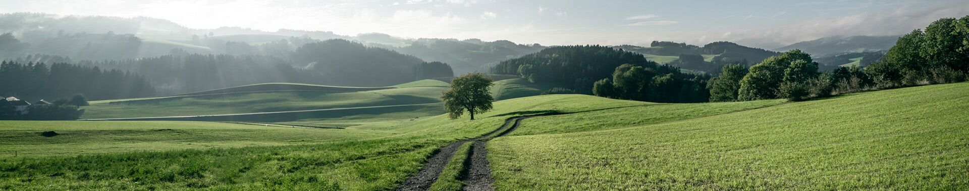
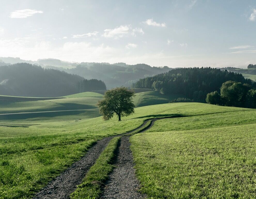
Stage 2: PUCHENAU - EIDENBERG
Distance: 14.2 km, 700 m elevation gain


We leave the church in Puchenau and head north, crossing the B127 via the underpass, passing the petrol station and turning into Schießstattstraße, where we find the entrance to the Puchenau Way of the Cross on the right.
At Station IV, it is worth making a short detour to the ‘Turmweg’ (Tower Path). It leads to one of the two Maximilian defence towers, relics of a 19th-century ‘Reich fortification programme’. At the end of the Way of the Cross, we can already see the basilica on the Pöstlingberg.
We continue straight ahead on Freisederweg and turn half-left onto the forest path towards Hammerbachtal. After crossing a stream, we take a steep forest path uphill to the left.
We are now on the Kirchensteig and pass the Kirchensteigbründl. We reach Großambergstraße and continue on to Kapellenhöhe until we reach Koglerauerspitz.
Then we descend northwards via Hagenau, Schlagbergstraße and Aignerstraße to Neulichtenberg. Pass the Holzpoldl and Reisinger inns on the right and continue on Wipflerbergstraße. At the next settlement, turn left onto a dirt road.
We then reach Wipflerbergstraße again and head towards Giselawarte to Kaiserberg. Via a hiking trail and a goods road, we reach the ‘Schwarze Kreuz’ (Black Cross), turn right, after 600 m right again into Sonnenweg and straight on to Almstraße. At the first farm on the left, we descend to the centre of Eidenberg.


