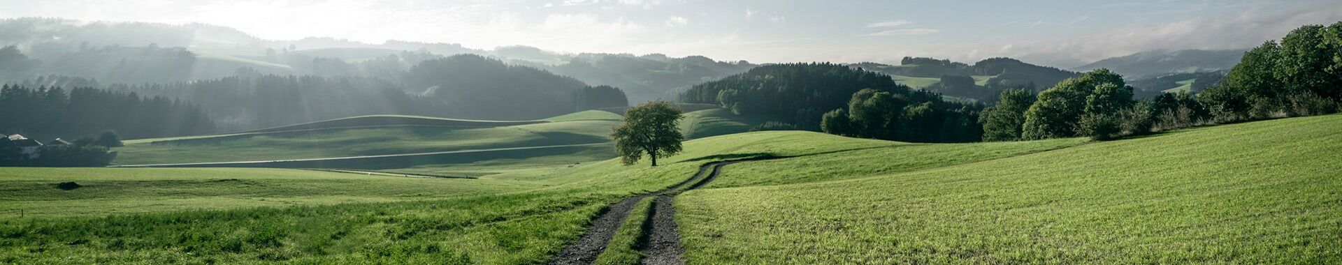
Stage 13: GRAMASTETTEN - OTTENSHEIM
Route: 9.2 km, 70 m elevation gain


From the church, we walk down Marktstraße to the junction.
There, we turn into Waldingerstraße, then left into Urtlstraße after the petrol station, and follow the Way of the Cross to the Kalvarienberg Church.
Here we enjoy a stunning view over the market town of Gramastetten, stretching far into the Mühlviertel region and across the Alpine foothills to the mountain range featuring the Traunstein and Dachstein.
We then retrace part of the Way of the Cross back to the Fiereder farmhouse. There, at the chapel, we turn left onto the footpath. At the fork, we keep left until we reach the old Linz road.
From there, we continue to the fork in the path by a large lime tree. To the left of this natural monument, we continue to the Durstberger farmhouse. Then we turn off onto the cart track, which leads us to the Hamberg farm track. Keeping to the left, we pass the Brotwöger and Wallner access roads as well as the Schöffleitner farmhouse.
Passing the Starzerhof, the route takes us to the Barth farm track and leftwards down into the Purleiten valley. We cross the Bleicherbach stream via a bridge and arrive at the ‘Four Mountains Boundary’.
A wooden sign provides information about the confluence of the three streams and the four mountains: Dürnberg, Schlagberg, Hamberg and Amberg.
We stay briefly on the Unteramberg farm track, where we turn right onto the footpath and walk along the Bleicherbach stream to Ottensheim.
We cross the B127 and reach the market square in Ottensheim via Linzer Straße.


